


Aerial
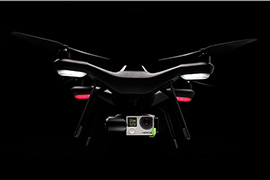
Platforms
Avail of a variety of our aerial platforms, made better through years of research and development!
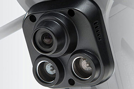
Sensors
Same Site with Greater Insight! View your site through different sensors to gain valuable information!
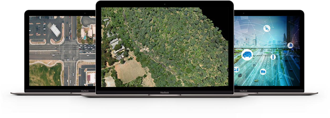
Software
Have a Look at Our Complete UAV Flight Process and Our Software Capabilities
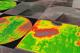
Analytics
Analyze Your Data Better With Our Wide Range of GIS and IoT Analytics Tools
Domains
Obtain UAV and Geospatial Solutions specific to your Domain to enhance
your workflows and make better business decisions.
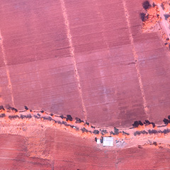
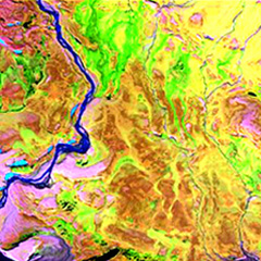
GIS
Map your business site with accuracy to understand the terrain and trends on its surface to obtain specific data to ascertain your next decision.
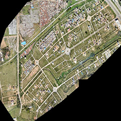
Orthomosaic
Orthomosaic
Hawkeye view of your business site
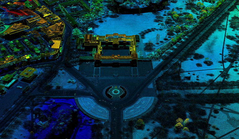
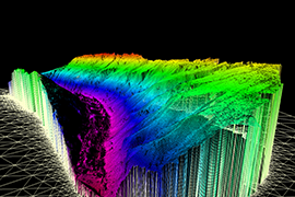
Point Cloud
Point Cloud
Accurate model of your terrain surface
3D Model
3D Model
Visualize & plan in 3D
Contours
Contours
Determine the trend of the site surface
Digital Elevation Model
Digital Elevation Model
Visualize the site surface at its original elevation
Topographic Map
Topographic Map
Get digital depiction of the features on – site
Thematic Map
Thematic Map
Obtain requirement specific outputs for your data
Asset Mapping
Asset Mapping
Make the most of your LiDAR data
IoT
Integrate the Internet of Things with your workflows for total transparency
with lesser inefficiencies and greater quality.
Traffic Management Solutions
Mapping Solutions
Smart City Solutions
Software
Plan ahead with agility and monitor
all the process while you are able to analyze and decide accordingly.

UAV Software
- Plan
- Monitor
- Process
- Analyze

IoT Software
- System integration software
- Middleware development
- User interface

Web & Mobile App Development
- Visualize
- Manage
- Connect
Training & Consultancy
We aim to shape a better tomorrow. Through this module, we plan to generate a more informed
and inspired workforce, equipped with knowledge and awareness.

Education
Join us to learn the basics of UAV and GIS and gain the professional guidance you need.
- Learn the basics of GIS
- Introduction to the UAV
- Classroom Training

Training
Be a part of the informed workforce through hands-on field training from our experts.
- Fly a UAV
- Process UAV Data
- Analyze Outputs

Consultancy
Receive services from our GIS and UAV experts to strategize your business plans by integrating the UAS technology.
- Project Specific
- Techno Commercial
- Detailed Project Report (DPR)
- Feasibility Report