Ideal for:
- Short range, 270° scanning LASER rangefinder
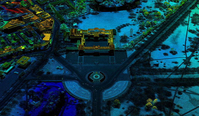
- Useful in 3D digital surface modelling, stockpile calculation, surface variation detection and flood mapping
- Penetrates through vegetation: It can perform plant height measurements
Maximum Range
100 m at 65m
Side FIeld of View
180 degrees
Forward Field of View
+/- 15 degrees
Angular Resolution
< 0.4 degrees
IMU
Tactical Grade